Find global GIS data in seconds, inside ArcGIS Pro
Spatineo Discovery® transforms how GIS professionals find and use data. Save hours of repetitive work weekly with an AI-powered search tool.
.webp)

What professionals say
I’m genuinely excited about Spatineo Discovery. As a GIS professional, I want to spend my time on analysis and insight rather than the boring and time-consuming hunt for data. Spatineo Discovery makes that possible.
The most valuable feature is the data quality metrics. No other tool provides this level of insight. I can identify clean geodatabases with reliable uptimes and feel confident that my models use the most accurate data available.
Spatineo Discovery eliminates the industry bottleneck of manual data hunting. By bringing transparency to service reliability, it ensures that companies build their projects on a foundation of relevant geospatial data.

From query to integration in seconds
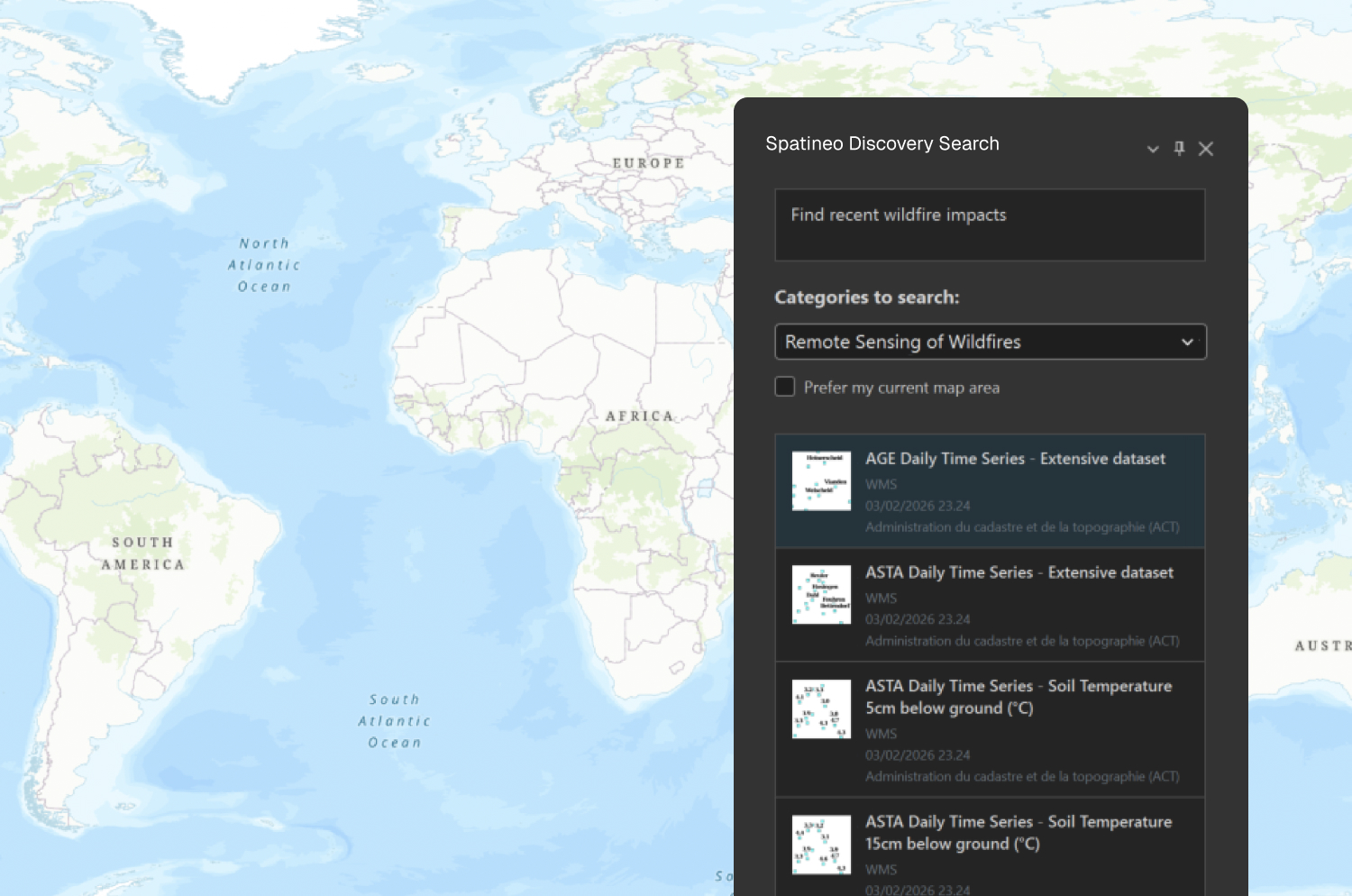
Describe your task
Tell Spatineo Discovery what you need. Our AI-powered search finds the most relevant datasets for your specific use case.
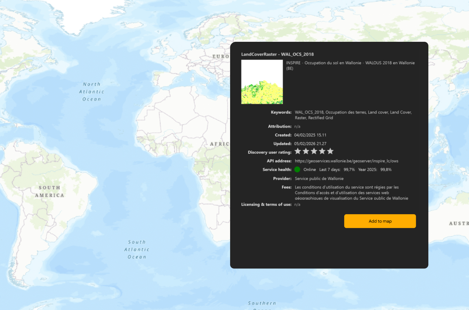
Review results and get suggestions
Explore suggested geospatial services tailored to your task and pick which options best fit your project.
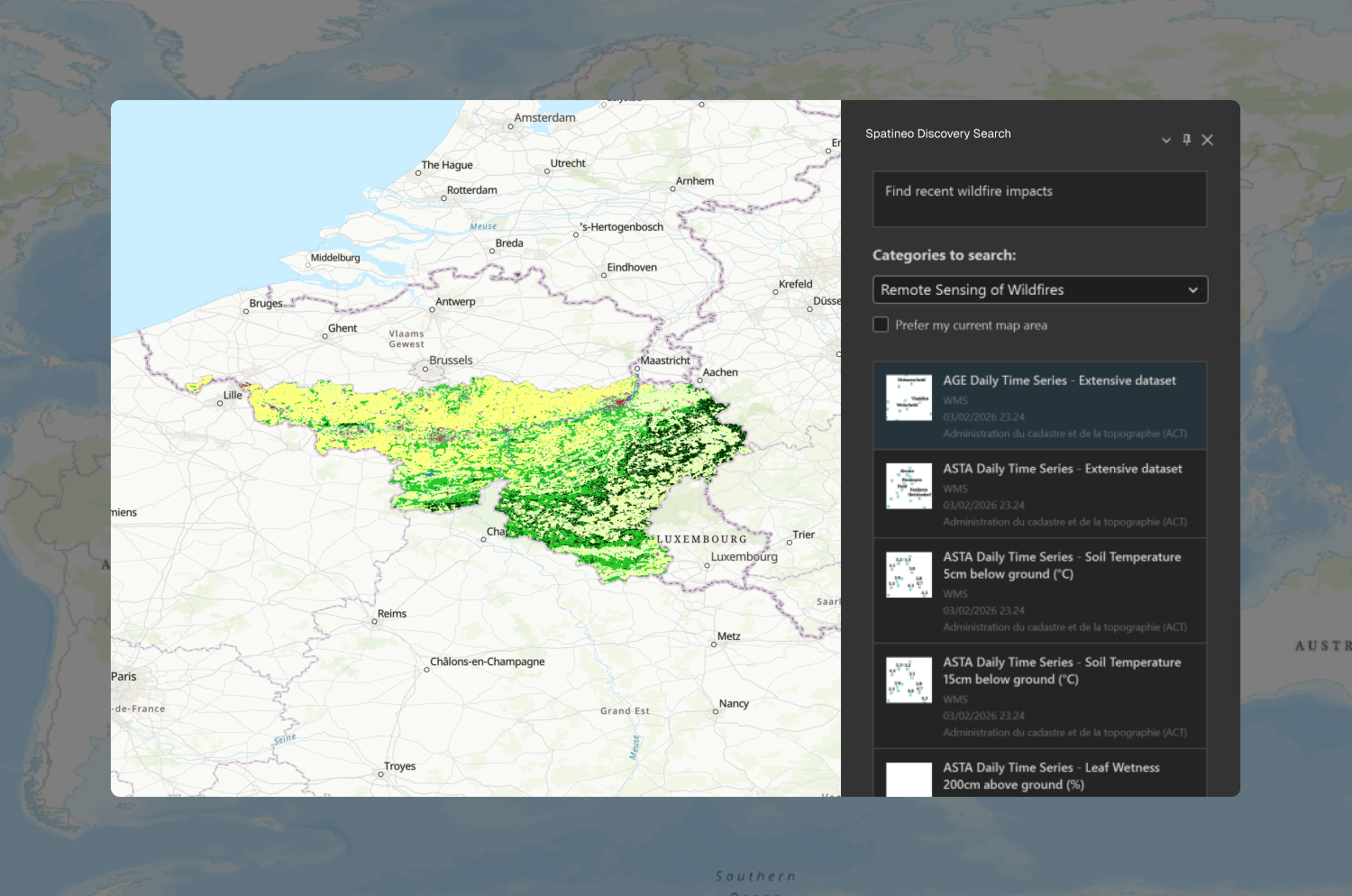
Add data directly to ArcGIS Pro
Import task-relevant data to your project with one click and move straight into analysis.

Start discovering today
Join the teams that have already transformed their geospatial data discovery.

Spatineo Discovery® in action
See how Spatineo Discovery® accelerates GIS work across industries.

Forest health monitoring
Foresters depend on timely, relevant geospatial data to detect pest infestations and drought conditions before they escalate. Spatineo Discovery connects them to datasets on vegetation and land cover in seconds, enabling immediate integration into ArcGIS Pro for critical health assessments.
This streamlined access ensures that forestry professionals can base their management decisions on the most accurate information, cutting weeks off planning cycles and ensuring a timely response to forest disturbances.

Spatineo Discovery® key workflow benefits

Get to analysis faster
Access usable data in seconds and save hours on repetitive work weekly. Reduce search and validation time across services.

Unlock new possibilities
Start analyses you would otherwise postpone due to data availability or uncertainty.

Trust your data
Reduce uncertainty and rework by relying on data that is continuously assessed for availability.

Focus on core GIS work
Spend more time on analysis, insights, and decision support. Strengthen the role of GIS expertise in your organization.

Built on 15 years of GIS expertise
Spatineo has helped governments, enterprises, and research institutions in providing, finding, and maintaining reliable geospatial data for over 15 years. Now, with advancements in AI, we are bringing that knowledge into a new era with Spatineo Discovery.
4 million datasets indexed
The intelligence behind Spatineo Discovery is built on the world’s most extensive, continuously monitored database of active Open Geospatial Services.
Combined with Spatineo Monitor, which continuously tracks service availability and reliability, it provides insights into API health, performance, and usage.
Trusted by leading institutions worldwide
100+ enterprise organizations rely on Spatineo’s geospatial intelligence, including government agencies, research institutions, and industry leaders.
Through years of consulting and active involvement in organizations like the Open Geospatial Consortium (OGC), we have built uniquely strong GIS expertise.
Real-world geospatial impact
Spatineo’s geospatial intelligence supports critical infrastructure and empowers GIS professionals to achieve excellence in their workflows every day.
Trusted at national scale
Natural Resources Canada relies on Spatineo’s geospatial intelligence to maintain its national spatial data infrastructure.
Natural Resources Canada uses the Spatineo Geospatial Web Harvester for autonomous SDI catalogue maintenance. This unique GeoAI tool automates the process of harvesting and categorizing geospatial APIs to efficiently populate and maintain the SDI catalogue.
The same continuously monitored geospatial intelligence powering national infrastructures now forms the foundation of Spatineo Discovery.
Spatineo is trusted by






Our strategic ecosystem partners

Our partnership with Esri ensures seamless integration between Spatineo’s tools and the ArcGIS ecosystem. Together, we provide solutions that enhance data discoverability and streamline workflows for Esri users. esri.com

As an active member of the Open Geospatial Consortium (OGC), Spatineo contributes to the development of global geospatial standards. Through long-standing involvement in OGC working groups — including leadership roles held by Spatineo’s founder Ilkka Rinne — we strengthen reliable and interoperable geospatial information exchange. ogc.org

Spatineo has utilized AWS technologies from the start. Our cloud infrastructure expertise supports the development of scalable and reliable geospatial services and enables our customers to take full advantage of cloud capabilities, including machine learning and AI. aws.amazon.com
Ready to transform your data discovery?
Join the GIS organizations already using Spatineo Discovery® to find relevant data faster and turn it into actionable insights.
Join the Spatineo Discovery® community
Be the first to hear about new features and insights shaping the future of geospatial data discovery.